§ Yonder — iPhone · iPad · Mac
In developmentPlan the nights. See the drives between them.
A road trip planner for Mac and iPhone. Lay out where you sleep each night, see which nights still need booking, and know how long every drive is before you leave.
In development. Not available yet.
Made for the next trip you're planning.
§ 01 — Spec sheet
- For
- Road trips of a few days to a few weeks
- Runs on
- iPhone, iPad and Mac. Native apps
- Your data
- On your devices and in your iCloud. No Yonder account
- Status
- In development. Not available yet
Why we're building it
Most road trips get planned in four places: confirmations in email, pins in a maps app, dates in a spreadsheet and the maybes in Notes. None of them knows that Tuesday night isn't booked yet, or that Tuesday's drive is four hours.
We're building Yonder to keep the nights, the bookings and the drives in one plan. Share a place from your maps or camping apps and it lands in Saved. Share a screenshot of a booking confirmation and Yonder reads it on your device and offers to fill in the stay.
§ 02 — Stays and drives
See the open nights and the long drives.
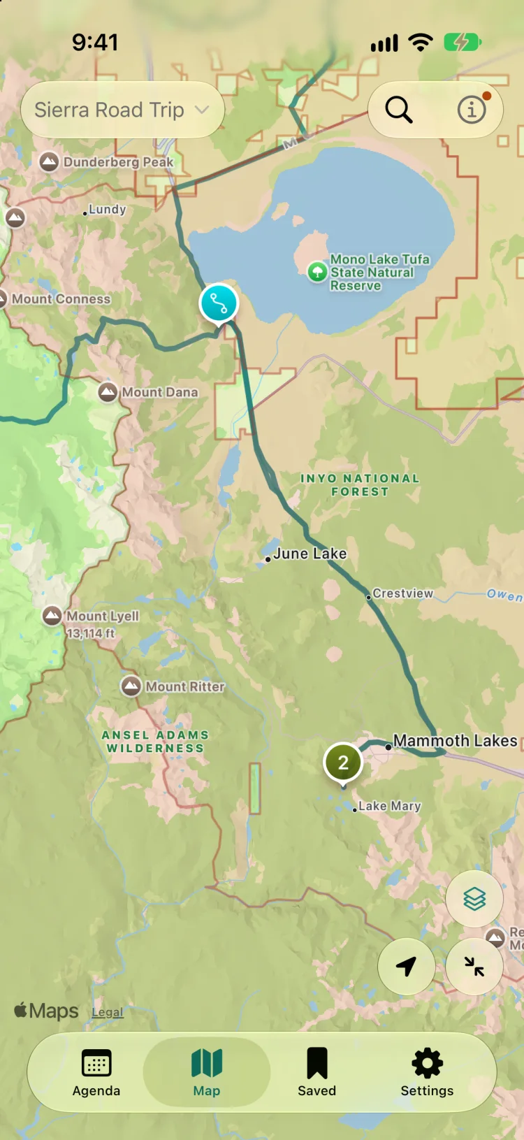
A trip is a run of dated stays, each marked Booked, Needs Booking or Not Required. Nights you haven't planned show up as open days.
Yonder works out the drive between stays with Apple Maps. Add a stop on the way and the route runs through it.
- Nights counted for every stay
- Open days between stays, in plain sight
- Drive time and distance between stays
- A Today view with tonight's stay and today's drive
§ 03 — Map layers
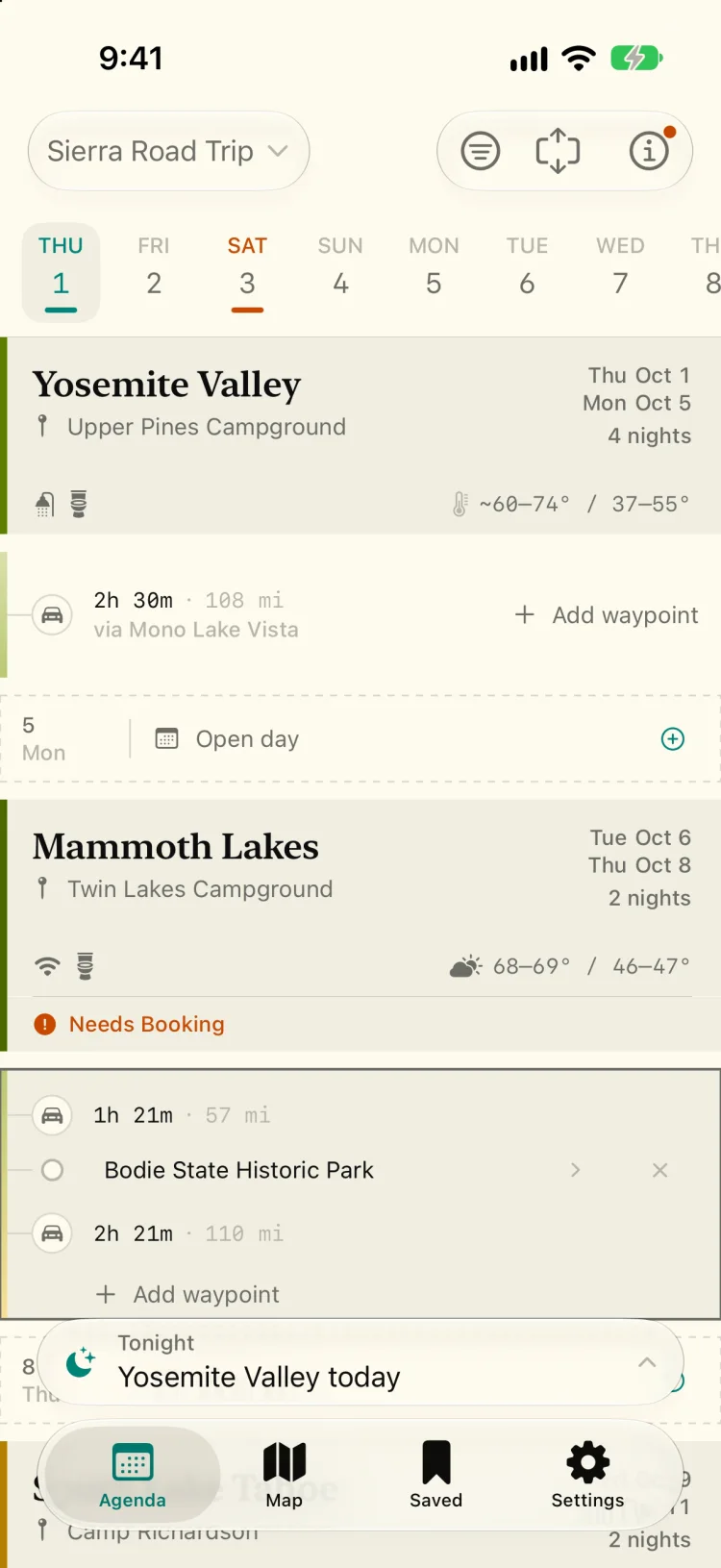
Public land and cell signal, on the map.
Picking a place to camp often comes down to whose land it is and whether your phone works there.
On iPhone, switch on layers for national forests, BLM land and cell coverage by carrier, next to your route and the places you've saved.
- National forests and BLM land
- Cell coverage by carrier, from FCC data
- Share a trip by iCloud link, view-only or with editing